–bg:#EEF1EC; –surface:#FFFFFF; –surface-2:#E5E9E2;<br />
–line: rgba(27,36,32,0.14); –ink:#1B2420; –ink-dim:#4E5B54;<br />
–amber:#9C5E1E; –teal:#276158; –rust:#9C3E27; –max:760px;<br />
background:var(–bg); color:var(–ink);<br />
font-family:’Inter’,sans-serif; line-height:1.65;<br />
-webkit-font-smoothing:antialiased; padding:8px 0 0;<br />
}<br />
.hp-article *{ box-sizing:border-box; }<br />
.hp-article h1, .hp-article h2, .hp-article h3, .hp-article .display{<br />
font-family:’Fraunces’,serif; font-weight:600; letter-spacing:-0.01em; color:var(–ink);<br />
}<br />
.hp-article.hp-hi h1, .hp-article.hp-hi h2, .hp-article.hp-hi h3, .hp-article.hp-hi .display{<br />
font-family:’Noto Serif Devanagari’,’Fraunces’,serif;<br />
}<br />
.hp-article.hp-hi{ font-family:’Noto Sans Devanagari’,’Inter’,sans-serif; }<br />
.hp-article a{ color:var(–amber); }<br />
.hp-article .wrap{ max-width:var(–max); margin:0 auto; padding:0 6px; }<br />
.hp-article .wide{ max-width:980px; margin:0 auto; padding:0 6px; }<br />
.hp-article .crosslink{<br />
display:inline-block; margin:0 0 28px; padding:8px 16px;<br />
border:1px solid var(–line); border-radius:999px; font-size:0.85rem;<br />
text-decoration:none; color:var(–ink-dim);<br />
}<br />
.hp-article .crosslink b{ color:var(–amber); }<br />
.hp-article .hero{ padding:16px 0 32px; border-bottom:1px solid var(–line); }<br />
.hp-article .kicker{ color:var(–teal); font-size:0.92rem; margin:0 0 14px; }<br />
.hp-article h1.title{ font-size:2.3rem; line-height:1.15; margin:0 0 18px; max-width:14em; }<br />
.hp-article .subtitle{ font-size:1.1rem; color:var(–ink-dim); max-width:38em; margin:0 0 22px; }<br />
.hp-article .meta-row{ font-size:0.85rem; color:var(–ink-dim); display:flex; gap:18px; flex-wrap:wrap; }<br />
.hp-article .meta-row b{ color:var(–ink); }<br />
.hp-article .status-banner{<br />
margin:28px 0 0; padding:16px 18px; border:1px solid rgba(156,62,39,0.35);<br />
background:rgba(156,62,39,0.07); border-radius:6px; font-size:0.94rem;<br />
}<br />
.hp-article .status-banner b{ color:var(–rust); }<br />
.hp-article section{ padding:44px 0; border-bottom:1px solid var(–line); }<br />
.hp-article section:last-of-type{ border-bottom:none; }<br />
.hp-article h2{ font-size:1.5rem; margin:0 0 8px; }<br />
.hp-article h2 .num{ color:var(–teal); font-size:0.95rem; font-weight:600; display:block; margin-bottom:6px; font-family:’Inter’,sans-serif; }<br />
.hp-article p{ margin:0 0 16px; color:var(–ink); }<br />
.hp-article .lede{ color:var(–ink-dim); font-size:1.03rem; }<br />
.hp-article .elev-chart{<br />
margin:36px 0 8px; padding:28px 20px 12px;<br />
background:var(–surface); border:1px solid var(–line); border-radius:8px;<br />
}<br />
.hp-article .elev-title{ font-size:0.82rem; color:var(–ink-dim); margin-bottom:22px; }<br />
.hp-article .elev-row{ display:flex; align-items:center; gap:14px; margin-bottom:14px; }<br />
.hp-article .elev-label{ width:140px; flex-shrink:0; font-size:0.85rem; color:var(–ink); text-align:right; }<br />
.hp-article .elev-bar-track{ flex:1; height:10px; background:var(–surface-2); border-radius:2px; overflow:hidden; }<br />
.hp-article .elev-bar{ height:100%; background:linear-gradient(90deg, var(–teal), var(–amber)); border-radius:2px; }<br />
.hp-article .elev-value{ width:76px; flex-shrink:0; font-size:0.82rem; color:var(–ink-dim); font-variant-numeric: tabular-nums; }<br />
.hp-article .simple-list{ margin:22px 0 0; border-top:1px solid var(–line); }<br />
.hp-article .simple-item{ padding:14px 0; border-bottom:1px solid var(–line); }<br />
.hp-article .si-head{ display:flex; align-items:baseline; justify-content:space-between; gap:12px; flex-wrap:wrap; }<br />
.hp-article .si-name{ font-weight:600; color:var(–ink); font-size:1rem; }<br />
.hp-article .si-elev{ font-size:0.82rem; color:var(–amber); font-weight:600; white-space:nowrap; }<br />
.hp-article .si-meta{ font-size:0.88rem; color:var(–ink-dim); margin:4px 0 0; }</p>
<p> .hp-article .resource-list{ margin:22px 0 0; display:flex; flex-direction:column; gap:10px; }<br />
.hp-article .resource-item{<br />
display:block; padding:16px 18px; border:1px solid var(–line); border-radius:8px;<br />
background:var(–surface); text-decoration:none;<br />
}<br />
.hp-article .resource-item .ri-title{ display:block; font-weight:600; color:var(–amber); font-size:1rem; margin-bottom:4px; }<br />
.hp-article .resource-item .ri-desc{ display:block; color:var(–ink-dim); font-size:0.9rem; line-height:1.5; }<br />
.hp-article .pass{ padding:32px 0; border-top:1px solid var(–line); display:grid; grid-template-columns: 1fr 240px; gap:28px; }<br />
.hp-article .pass:first-of-type{ border-top:none; padding-top:8px; }<br />
.hp-article .pass-body h3{ font-size:1.25rem; margin:0 0 4px; }<br />
.hp-article .pass-tag{ display:inline-block; font-family:’Inter’,sans-serif; font-size:0.75rem; font-weight:700; color:#FFFFFF; background:var(–amber); padding:3px 9px; border-radius:3px; margin-bottom:12px; letter-spacing:0.02em; }<br />
.hp-article .pass-facts{ background:var(–surface); border:1px solid var(–line); border-radius:8px; padding:18px 20px; align-self:start; margin:0; }<br />
.hp-article .pass-facts dt{ font-size:0.72rem; color:var(–teal); margin-top:14px; }<br />
.hp-article .pass-facts dt:first-child{ margin-top:0; }<br />
.hp-article .pass-facts dd{ margin:3px 0 0; font-size:0.88rem; color:var(–ink); }<br />
.hp-article ul.checklist{ list-style:none; padding:0; margin:20px 0; }<br />
.hp-article ul.checklist li{ position:relative; padding:10px 0 10px 30px; border-bottom:1px solid var(–line); color:var(–ink); }<br />
.hp-article ul.checklist li:last-child{ border-bottom:none; }<br />
.hp-article ul.checklist li::before{ content:”—”; position:absolute; left:0; color:var(–amber); font-weight:700; }<br />
.hp-article .closing{ font-size:1.1rem; color:var(–ink-dim); font-style:normal; border-left:2px solid var(–amber); padding-left:20px; margin:24px 0; }<br />
.hp-article footer{ padding:36px 0 40px; text-align:center; color:var(–ink-dim); font-size:0.82rem; }<br />
.hp-article .status-list{ margin:20px 0; padding:0; list-style:none; }<br />
.hp-article .status-list li{ padding:10px 0 10px 0; border-bottom:1px solid var(–line); font-size:0.94rem; }<br />
.hp-article .status-list li:last-child{ border-bottom:none; }<br />
.hp-article .status-list b{ color:var(–amber); font-weight:600; }<br />
@media (max-width:700px){<br />
.hp-article .pass{ grid-template-columns:1fr; }<br />
.hp-article h1.title{ font-size:1.8rem; }<br />
.hp-article .elev-label{ width:100px; font-size:0.78rem; }<br />
}<br />
इसे हिंदी में पढ़ें →
Field Guide · Himachal Pradesh
The Mountain Passes of Himachal Pradesh
Altitude, opening windows, routes and live road status — from Rohtang to Parang La, everything you need to plan a crossing safely.
Looking for a Hotel? Check Agoda.

01Before You Plan a Pass Crossing
Himachal Pradesh is called Dev Bhoomi — the Land of the Gods — but its real signature is written higher up, in the passes that stitch its valleys together. Long before they were road-trip bucket-list items, they were trade corridors for salt and wool caravans, seasonal routes for Gaddi shepherds, and the only way in or out of some of India’s most isolated valleys.
From Rohtang above Manali to the cold desert beyond Kunzum La, from the narrow, nerve-testing Sach Pass to the high crossroads of Baralacha La and Shinkula — every pass here carries its own geography, its own weather system and its own kind of difficulty. Some you can cross in a rented SUV in an afternoon. Others take several days on foot, a guide, and a working respect for altitude.
No pass in the Himalaya has a fixed opening date. Snowfall, the Border Roads Organisation’s snow-clearance schedule, monsoon rain, landslides, glacier melt, local administrative orders and border-security restrictions can shut a road with almost no notice. A two-year-old blog post, an old YouTube video, or Google Maps is not something you can safely drive on.
As a rule of thumb, most high-altitude road passes run from May through October. But August and September — lighter on snow — bring a different hazard: monsoon landslides. This guide reflects conditions as of late August 2026; treat every date below as a typical window, not a guarantee.
Elevation at a glance (major road passes, metres above sea level)
02Himachal’s Major Road Passes
These are the passes you can reach by vehicle in season, ranging from the tourist-friendly (Rohtang, Jalori) to the genuinely demanding (Sach, Shinkula, Baralacha La).
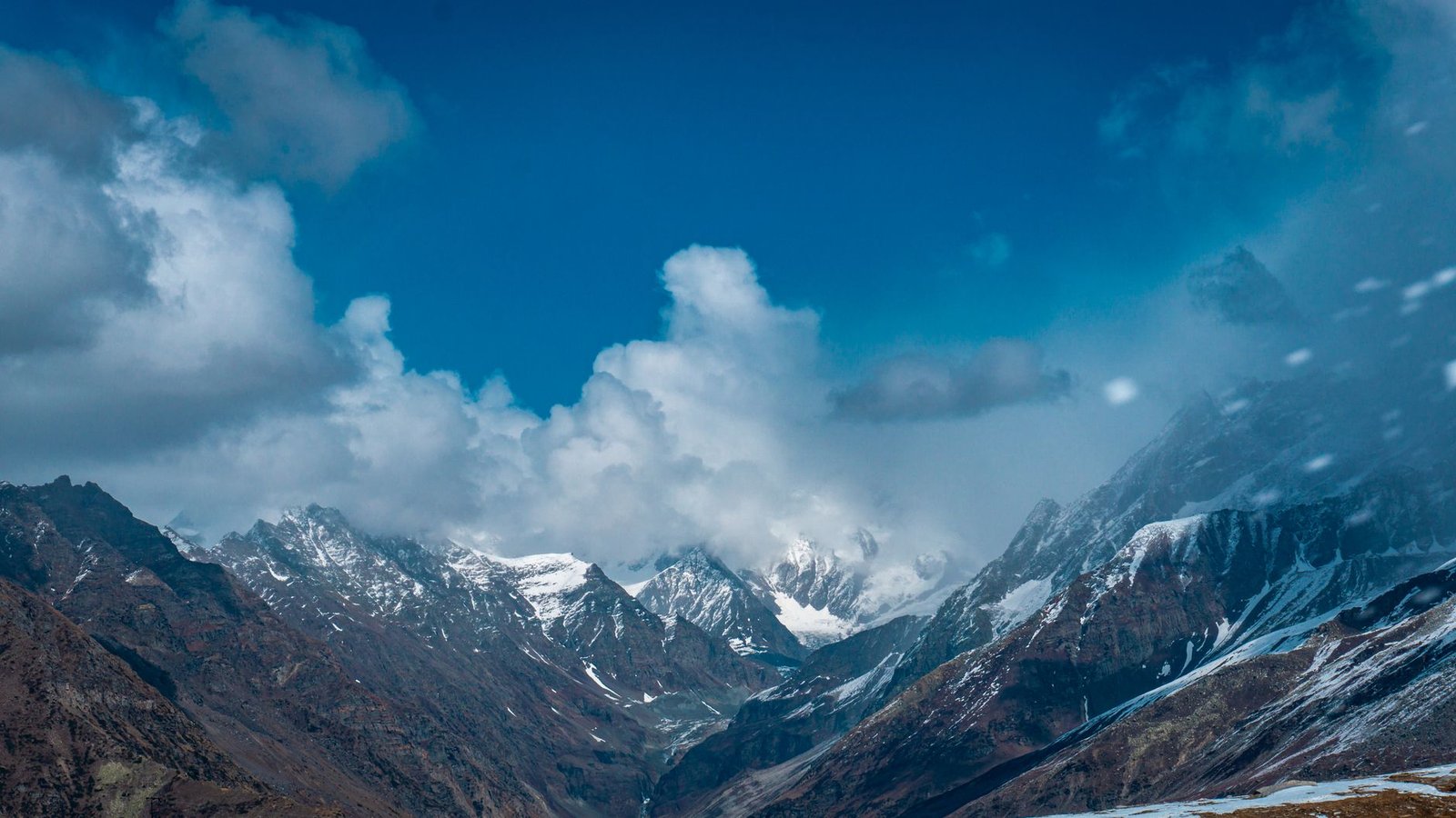
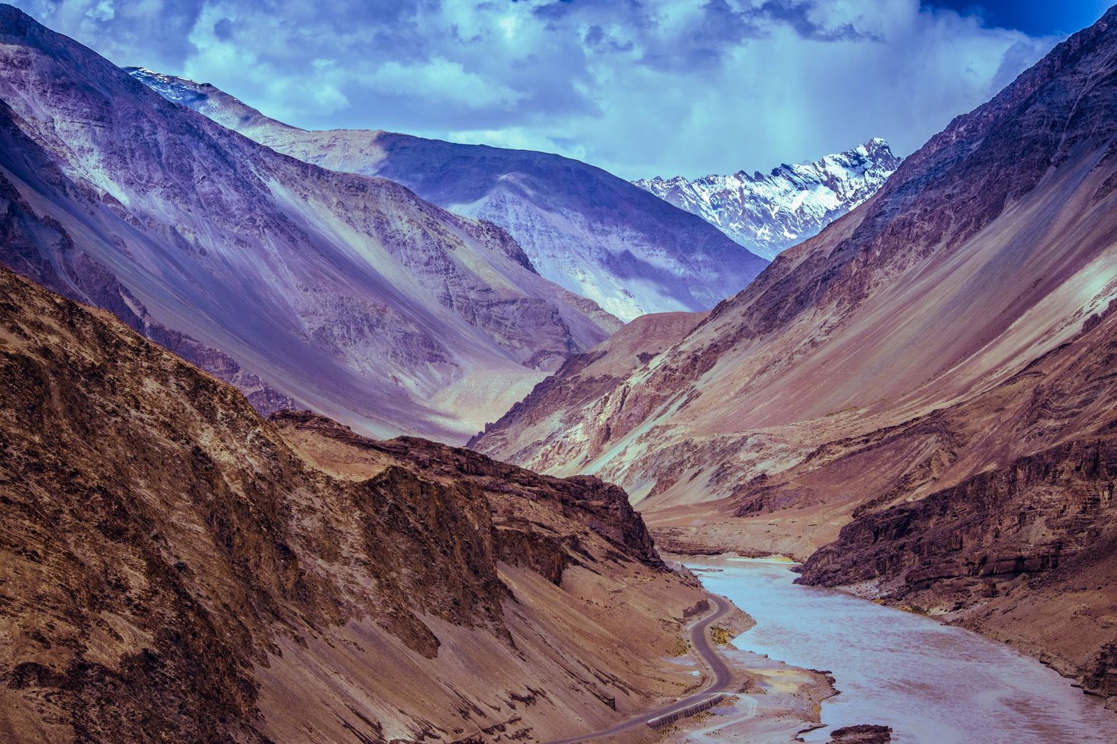
Rohtang Pass — Manali’s Historic Gateway to Lahaul
Rohtang is Himachal’s most famous pass, connecting the Kullu Valley to Lahaul roughly 51 km from Manali. Its name is often translated as “pile of corpses,” a grim nod to how punishing the crossing once was for traders and travellers caught in bad weather.
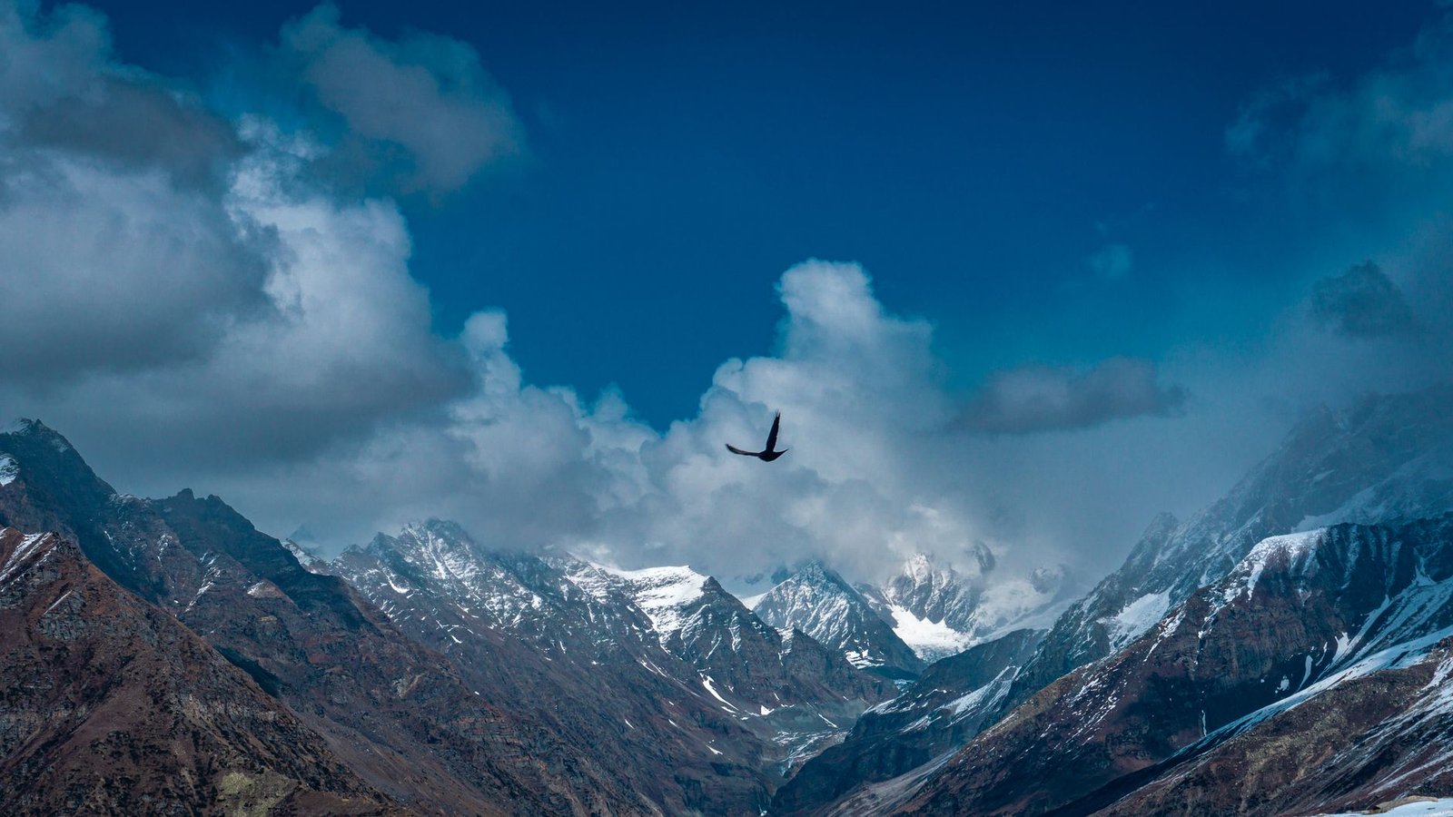
The Atal Tunnel has since made the Manali–Sissu–Keylong run far easier, but Rohtang hasn’t lost its pull. Glacier views, high alpine meadows and the sheer drama of the old Manali–Leh road still draw travellers who want the classic experience rather than the shortcut.
- Route
- Manali – Kothi – Gulaba – Marhi – Rohtang – Gramphu – Koksar – Keylong
- Good to know
- Permits and daily vehicle quotas often apply for tourist vehicles — check the official permit portal and current traffic advisories before you go.
Kunzum Pass — Spiti’s High Gateway
Kunzum La is the best-known link between Lahaul and Spiti, and the emotional high point of the Manali–Kaja road. The Kunzum Mata temple, strings of prayer flags snapping in the wind, and a cold-desert landscape that stretches to the horizon make this one of Himachal’s most photographed places.
The road from Manali runs through Gramphu, Chatru and Batal before reaching the pass — the same stretch that leads to Chandratal Lake. It isn’t a wide highway; long sections are unpaved, narrow, and cut by seasonal streams.
- Route
- Manali – Atal Tunnel/Rohtang – Gramphu – Chatru – Batal – Kunzum Pass – Losar – Kaza
- Typical window
- Late June/July through October; closes as soon as snow returns.
Baralacha La — The Toughest Stretch of the Manali–Leh Highway
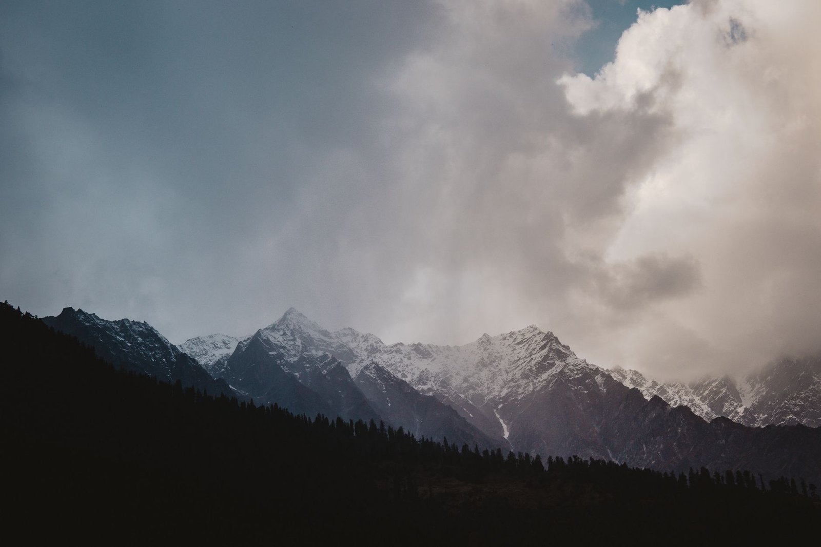
Sitting at nearly 4,890 m, Baralacha La is sometimes called the “crossroads on the summit” — historically, routes from Lahaul, Zanskar, Spiti and Ladakh all converged here. Oxygen is thin, temperatures swing hard, and rain at lower elevations can mean fresh snow at the top.
Travellers heading out from Jispa or Darcha should carry warm layers, extra food and water, and a fuel buffer — this is remote, high-consequence terrain.
- Route
- Manali – Atal Tunnel – Keylong – Jispa – Darcha – Zingzingbar – Baralacha La – Bharatpur – Sarchu – Leh
- Note
- Part of the Manali–Leh Highway; light vehicles were reported moving from mid-May 2026, but any fresh snowfall can close it again without warning.
Sach Pass — The Boldest Drive to Pangi Valley
Sach Pass connects Chamba to Killar, headquarters of the remote Pangi Valley. At 4,395 m it’s spectacular, but also genuinely difficult — sharp switchbacks, unpaved sections, fog, falling rocks and fast-changing weather have earned it a reputation as one of Himachal’s riskiest roads.
This is a route for travellers comfortable with remote Himalayan driving, limited facilities and slow going. Don’t attempt it without an experienced driver, a full tank, and a current weather check.
- Route
- Chamba – Tissa – Bairagarh – Sach Pass – Killar – Pangi Valley
- Typical window
- June through October; snow can close it soon after.
Shinkula — Lahaul’s New Route into Zanskar
Also called Shingo La, this pass sits on the Darcha–Padum road connecting Lahaul to the Zanskar Valley, at roughly 5,000 m. It’s one of the more isolated road journeys in the Himalaya — road-building and connectivity keep improving, but it’s still nowhere close to a routine family drive.
Road surface, water crossings and weather can each turn a manageable day into a difficult one. Critically, an open road at the base doesn’t mean the pass-top is open — verify both sides separately.
- Route
- Manali – Keylong – Jispa – Darcha – Shinkula – Gurgurdo – Purne – Padum
- Note
- Check status from both the Darcha/Keylong side and the Zanskar side before committing.
Jalori Pass — Lower Altitude, Bigger Views
Jalori connects Kullu’s Banjar–Shoja belt to Ani and Nirmand. At 3,120 m, it’s nowhere near as extreme as Rohtang or Kunzum, but the road is narrow and monsoon-sensitive.
It’s the gateway to Jibhi, Shoja, Serolsar Lake and the Great Himalayan National Park — an easy pick for travellers who want a shorter Himalayan drive through deodar forest and quiet villages rather than a high-altitude expedition.
- Route
- Aut – Banjar – Jibhi – Shoja – Jalori Pass – Ani / Nirmand
- Typical closure
- Heavy snow can shut it, or make it 4×4-only, from December through March or April.
Chanshal Pass — The Quiet Road to Dodra-Kwar
Chanshal links Shimla district’s Rohru belt to the remote Dodra-Kwar area. It’s a good pick for travellers who want a calmer, less-crowded mountain drive outside the usual Manali or Spiti circuit.
- Route
- Rohru – Chirgaon – Larot – Chanshal Pass – Dodra – Kwar
- Typical window
- June through October; heavy winter snow cuts the region off.
03Trekking-Only Passes
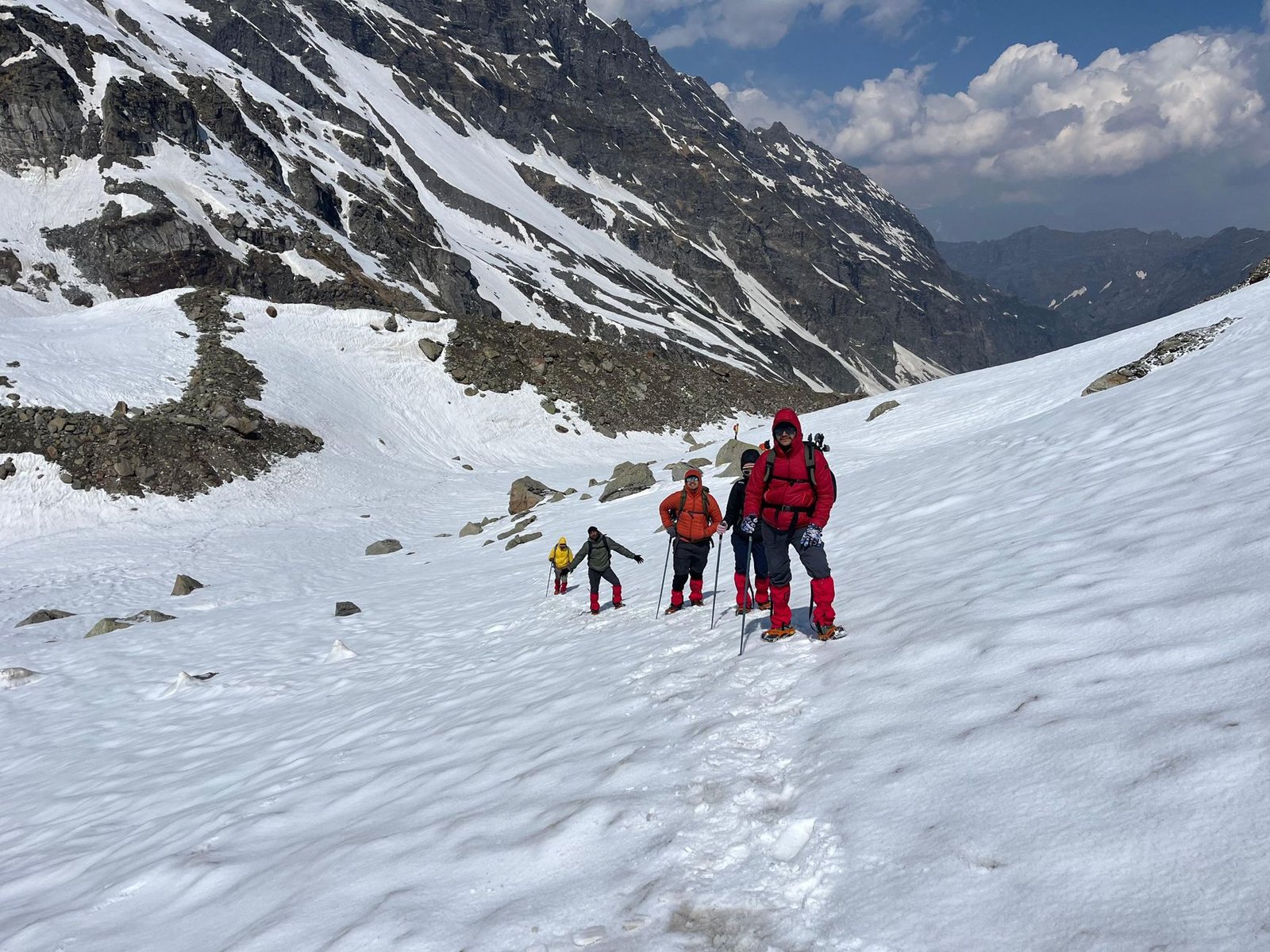
No road reaches these. Crossing them means multi-day trekking, tented camps, acclimatisation, a local guide, current weather intel and solid fitness.
04What Late August 2026 Actually Looks Like
Monsoon impact is still active across Himachal as of 31 August 2026. As of 30 August, 64 roads statewide were reported closed — the highest concentration in Mandi district, followed by Kullu, Kangra and Sirmaur, with at least one closure recorded in Lahaul-Spiti as well.
That means nobody should read a pass as “in season” and take that as permission to leave. The Kullu–Manali approach roads, the Mandi–Kullu National Highway, Chamba’s side roads, the Gramphu–Kaza stretch and remote valley roads are all realistic candidates for landslides or temporary restrictions right now.
- Rohtang Pass: Generally accessible in peak summer season, but check the Manali approach road and current permit status.
- Kunzum Pass: Usually open through the summer window, though rain and stream crossings can make the road condition unpredictable.
- Baralacha La: A weather-dependent stretch of the Manali–Leh Highway — get an update from both directions before a long run.
- Sach Pass: Treat it as risky even when officially open; avoid non-essential travel during heavy rain.
- Jalori Pass: Reliable in tourist season, but the Kullu-Banjar side carries landslide risk.
- Shinkula: Verify the road-opening and the pass-top opening separately — they’re not the same thing.
- Shipki La: Not a general tourist pass — border restrictions apply.
05High-Altitude Pass Travel Checklist
- Start early and avoid crossing high passes in the afternoon.
- Get a same-day road update from a local taxi union, hotel owner or the district administration before you leave.
- Don’t treat Google Maps as the final word — on remote roads it’s often outdated or simply wrong.
- Drive slowly at altitude, stay hydrated, and skip the alcohol.
- Don’t ignore AMS (Acute Mountain Sickness) symptoms — headache, vomiting, dizziness, breathlessness or confusion need attention immediately.
- Carry extra fuel, food, water and warm clothing for Baralacha La, Kunzum, Shinkula and any trekking pass.
- Avoid river crossings, landslide zones and night driving during the monsoon.
- For trekking passes, arrange a certified guide, proper insurance, a fitness check and an evacuation plan.
- Respect local rules on photography, drone use and movement in border-adjacent areas.
07The Bigger Picture
Himachal’s passes aren’t just roads. They’re a record of shifting Himalayan weather, border cultures, high valleys and the kind of travel that asks something of you. Rohtang and Jalori are reasonable places to start; Kunzum, Baralacha La, Sach and Shinkula ask for real preparation; and Pin Parvati, Parang La or Indrahar belong to experienced trekkers only.
The best Himalayan journey is the one that puts safety ahead of the destination. If the weather, the administration or the locals tell you to turn back — that’s not failure. That’s how you get to come back and try again.
हिमाचल के दूर-दराज़ इलाकों के लिए ऑफलाइन नेविगेशन
अगर आप किसी ट्रेक, झरने, कैंपिंग साइट, पर्वतीय दर्रे, mountain road, bike route या हिमाचल की किसी दूर-दराज़ जगह पर जा रहे हैं, तो यात्रा शुरू करने से पहले Organic Maps ऐप डाउनलोड करें और संबंधित क्षेत्र का Offline Map अपने मोबाइल में सेव कर लें।
इंटरनेट या mobile network उपलब्ध न होने पर भी आप अपनी live GPS location देख सकते हैं। यदि आपके route के लिए GPX track उपलब्ध हो, तो उसे Organic Maps में import करके आप सही रास्ते पर बने रह सकते हैं।
Android: Download Organic Maps for Android
iPhone (iOS): Download Organic Maps for iPhone
यात्रा सुझाव:
- यात्रा शुरू करने से पहले संबंधित क्षेत्र का offline map डाउनलोड करें।
- Mountain roads और remote areas में mobile network पर पूरी तरह निर्भर न रहें।
- मोबाइल पूरी तरह चार्ज रखें और power bank साथ रखें।
- यदि GPX track उपलब्ध हो, तो उसे Organic Maps में import करके ही यात्रा शुरू करें।
हिमाचल यात्रा प्लान करने से पहले ये फ्री टूल्स जरूर इस्तेमाल करें:
- Himachal Best Time to Visit Calculator
- Himachal Trip Budget Calculator
- Himachal Trip Fuel Calculator
- Himachal Weather Live Forecast
Important Tips for All Travellers
- Check the latest Official HP Travel Advisory before your journey.
- Read our complete Tourist Visa Guide if you are a foreign traveler.
- Keep Himachal Clean & Green – Please carry your waste back and respect the local culture & environment.
For Foreign Travellers – Free Personalized Help
Want to experience authentic village life, local culture, and genuine Himachali hospitality? We can help you curate a personalized trip at the best genuine rates.
- Free trip planning & quotation in your currency
- Priority booking in Himachal Government Rest Houses
- BMC certified local guides (city-wise)
- Best rates on bike, auto & car rentals from government-approved agencies
- Free local Himachali handicraft gift for all foreign travellers
Please get in touch with us for a free personalized quotation.
हिमाचल में बेस्ट होटल खोज रहे हैं?
चाहे आप Manali, Shimla, Kasol, Kullu, Spiti Valley, Kinnaur, Chamba, Dharamshala, McLeod Ganj, Dalhousie, Kasauli या हिमाचल के किसी भी अन्य destination की यात्रा प्लान कर रहे हों — सही होटल सही कीमत पर मिलना बहुत जरूरी है। Agoda पर आप हिमाचल के होटल्स की लेटेस्ट कीमतें, असली गेस्ट रिव्यूज और बेस्ट डील्स आसानी से चेक कर सकते हैं। बहुत से यात्री Agoda को इसलिए पसंद करते हैं क्योंकि यहाँ अक्सर बेहतर डिस्काउंट और फ्लेक्सिबल बुकिंग ऑप्शन मिलते हैं।